Today we went downtown Willemstad. We parked out car on the parking lot near Abraham M. Chumaceiro Boulevard (N12.105625, W68.92897). From there we went on foot in the direction of the pontoon bridge.
When we got to the Sint Anne bay I decided to make a panorama (N12.10698 W68.93343):
You can see the pantoon bridge already from here, and also the colored houses and the big bridge where the ocean ships can get underneath.
So little bit down the road is the pontoon bridge, officially the Queen Emma bridge(N12.105819 W68.935048):
From the bridge you have a nice view of the colored houses:
The entrance of the bay is “guarded” by two forts. The Rif fort to the northwest(N12.105683 W68.936955):
In the fort is now a shopping mall. We got some ice cream there and then sat on a terras to have a drink.
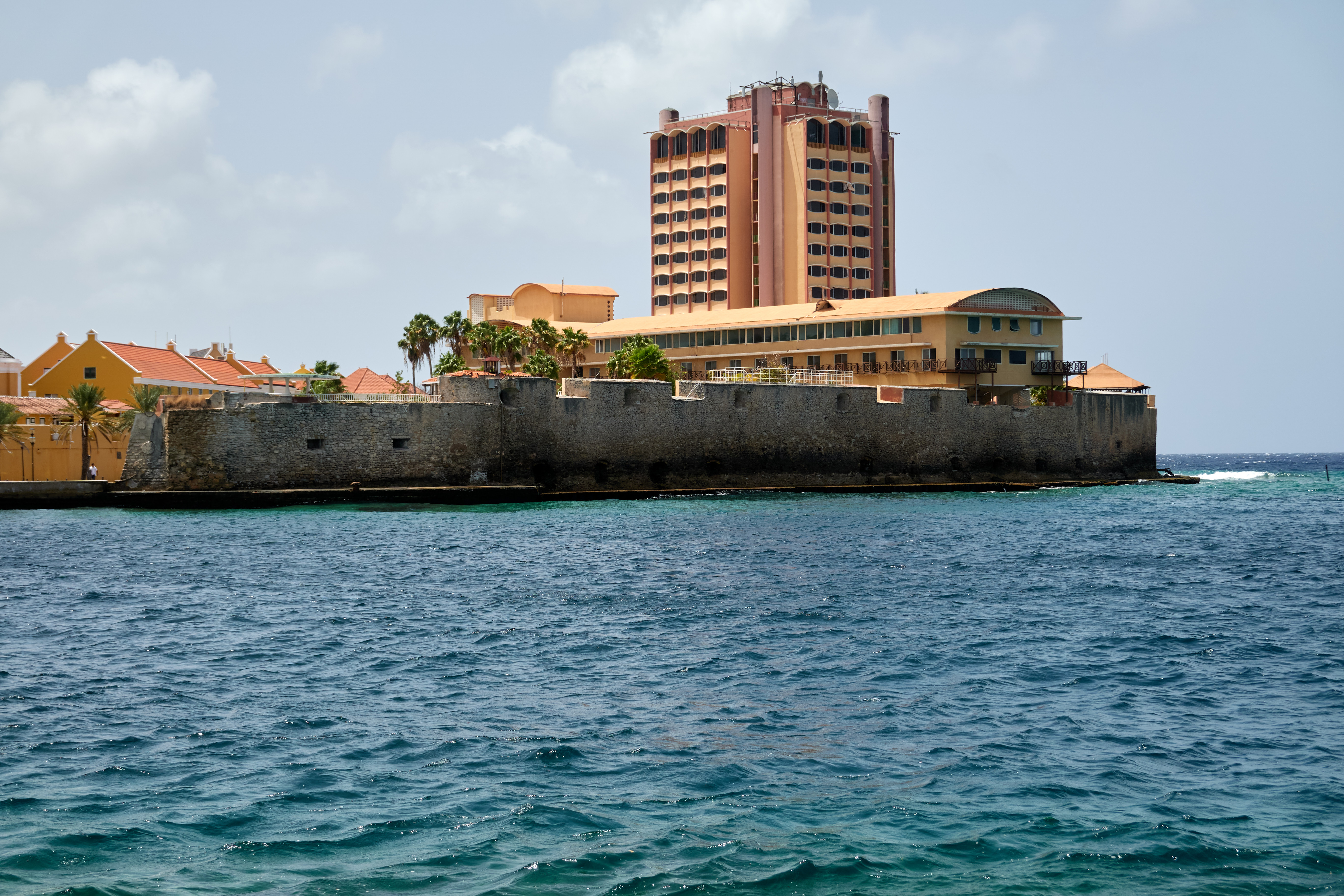
On the other side is Fort Amsterdam (photo is taken from the other fort):
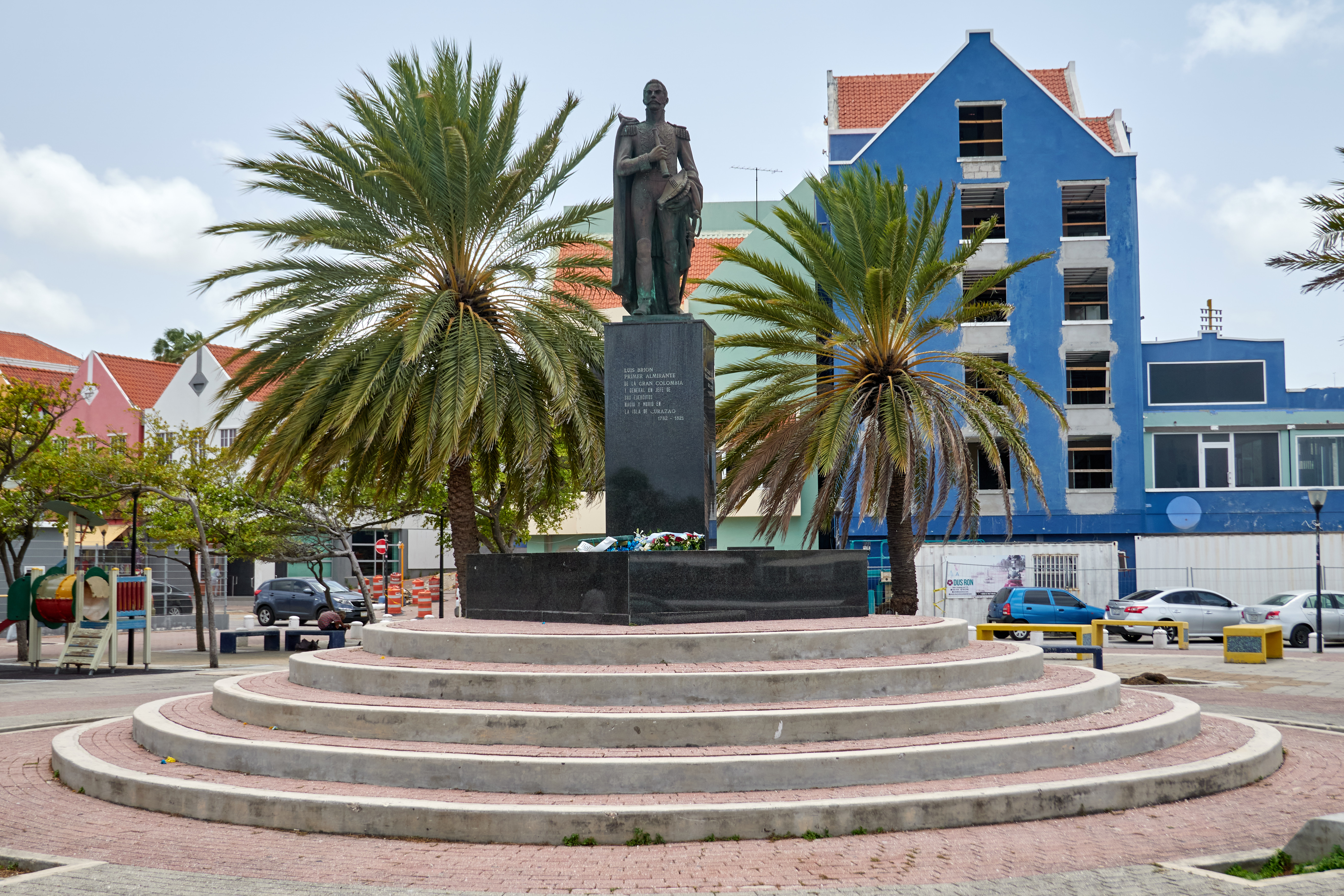
There is a statue of Luis Brion outside For Rif (N12.107127 W68.9358583)
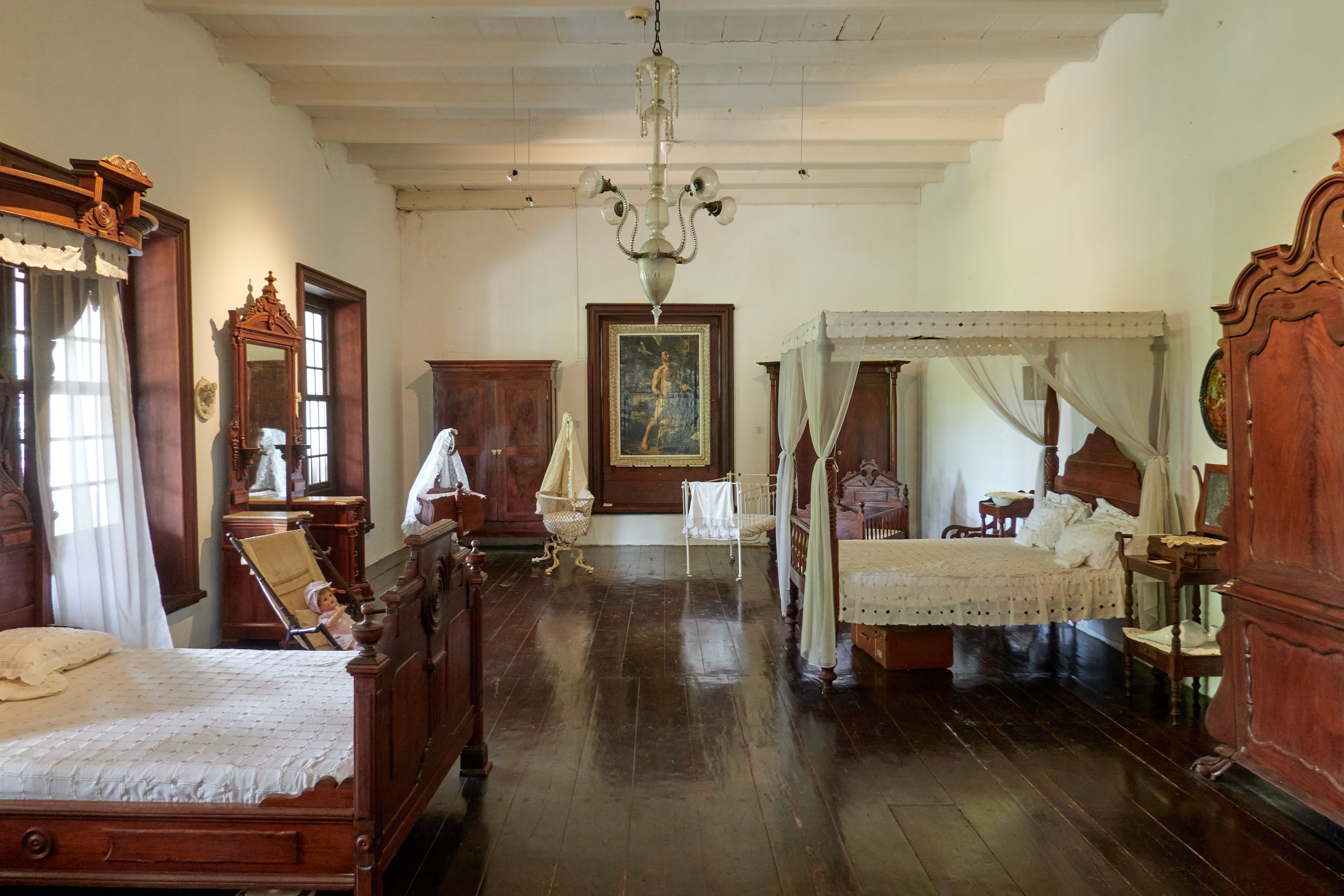
We then walked to the Curacaosch museum (N12.11210 W68.9472817). It has a number of “historical furnished” room. E.g. a bedroom:
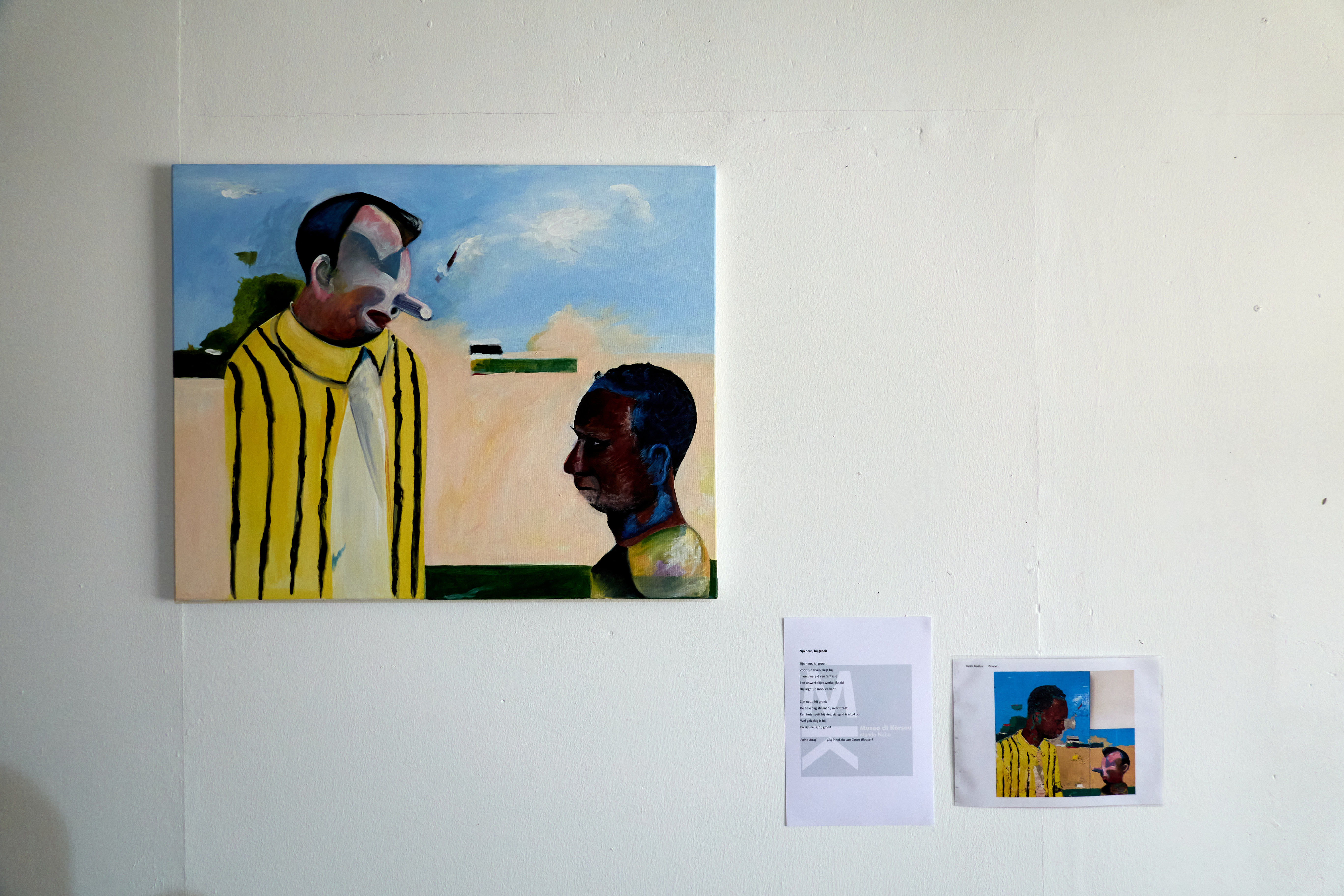
There was also some modern art:
Also there was a part of the “Snip”. This is a Fokker F.XVIII. It is the aircraft where KLM made its first transatlantic flight with:
The outside of the museum:
There was also a rather large lizard walking around:
After we seen most things there, we wanted to go eat at Fort Nassau. So we drove there but it was fully booked for the night. So we reserved for Satureday, as tomorrow we are going to “klein Curaçao”. You can go up on the roof of Fort Nassau. Panorama:
We did not know where to go eat now. So we ended up getting a takeaway pizza at Domino’s. They were kind of pricey but they turned out to be very large pizzas. The tomato sauce on the pizza had a kind of strange taste to it…